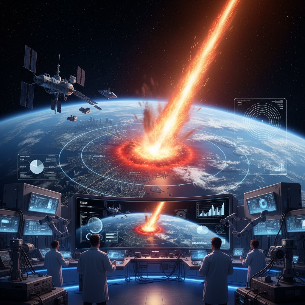
The Earth hangs in the blackness of space, a fragile blue marble. Now, imagine a streak of light, growing brighter, until a chunk of rock and ice slams into the Pacific Ocean at 40,000 miles per hour. What happens next? A new interactive website, AsteroidImpactSimulator.com, lets you find out in chilling detail, providing immediate visualizations of the devastation and, most soberingly, estimates of local and global casualties.
Launched last week by a team of planetary scientists and data visualizers at the University of Colorado Boulder, the tool combines decades of impact physics research with real-world demographic data. It’s a stark, digital reminder that while the odds are low, the stakes are impossibly high. The site allows anyone—from concerned citizens to emergency planners—to choose an asteroid’s size, speed, angle of entry, and impact location, then watch the consequences unfold in real-time.
“This isn’t a game,” says Dr. Elena Rossi, lead developer and assistant professor of planetary science at CU Boulder. “It’s a public education tool. We wanted to bridge the gap between abstract science and visceral understanding. When you see the fireball radius overlay the city where your cousin lives, it changes your perspective.”
From Chicxulub to Your Backyard: How the Simulator Works
The simulator builds on the legacy of the Impact Earth! tool created by Purdue University and Imperial College London, but adds a critical new layer: real-time casualty modeling. Users begin by selecting an asteroid diameter, from a modest 50 meters (the size of the Chelyabinsk meteor) to a civilization-ending 10 kilometers (the size of the Chicxulub impactor that killed the dinosaurs).
Next, they choose a speed—ranging from a slow 12 km/s to a blistering 72 km/s—and an impact angle. The final step is to click on a map of Earth. Within seconds, the screen fills with overlays: a blast wave radius in red, a thermal radiation zone in orange, and a tsunami inundation area in blue for ocean impacts. Below the map, a counter ticks upward: Local Casualties: 342,000. Global Casualties: 1.2 million.
These numbers come from integrating population density data from the Gridded Population of the World (GPW v4) database with physics models for airburst, fireball, and earthquake effects. The tool accounts for factors like building collapse from seismic shaking and lethal overpressure from the shockwave. It’s a sobering synthesis of astronomy and urban planning.
“The casualty estimates are probabilistic, not prophetic,” explains Dr. Mark Tanaka, a risk assessment specialist who consulted on the project. “They represent a median outcome based on 10,000 Monte Carlo simulations for each scenario. But they are grounded in real physics. If a 300-meter asteroid hits Manhattan at a low angle, the thermal pulse alone would ignite fires across the entire borough within seconds.”
A Digital Wake-Up Call
What makes the site particularly gripping is its ability to visualize impacts in familiar places. Click on London, and the fireball radius stretches from Reading to Southend-on-Sea. Click on Los Angeles, and the blast wave reaches Palm Springs. For ocean strikes, the tsunami map shows waves washing over coastal cities hours later, with casualty counts rising as the model simulates evacuation failures.
One test run by this reporter—a 500-meter asteroid striking the Atlantic Ocean 200 miles off the coast of New York—resulted in a projected 8 million local casualties and 150,000 global ones. The site noted that the resulting tsunami would reach the Statue of Liberty in 45 minutes with a height of 40 meters. The visual was haunting: a blue line creeping over Lower Manhattan, then JFK Airport, then Long Island.
The team behind the site acknowledges the potential for misuse or anxiety. “We’ve included a ‘What You Can Do’ section that links to planetary defense organizations like the B612 Foundation and NASA’s Planetary Defense Coordination Office,” says Dr. Rossi. “The goal isn’t to scare people, but to inform them. Knowing the threat is the first step to mitigating it.”
Why This Matters Now
The launch of the simulator comes at a pivotal time for planetary defense. In September 2022, NASA’s DART mission successfully crashed a spacecraft into the asteroid Dimorphos, altering its orbit—the first real-world test of kinetic impact deflection. The ESA’s Hera mission is set to follow up in 2024 to study the aftermath. Meanwhile, the Vera C. Rubin Observatory in Chile, scheduled to begin full operations in 2025, will scan the entire southern sky every three nights, potentially discovering thousands of new near-Earth objects (NEOs).
As our detection capabilities improve, the likelihood of finding a threatening asteroid increases. The question becomes: what do we do about it? The new simulator helps answer that by showing the human cost of inaction. It also serves as a testbed for emergency response planners, allowing them to run “what-if” scenarios for specific cities.
“We’ve already had interest from FEMA and the UN Office for Outer Space Affairs,” notes Dr. Tanaka. “They see it as a training tool. If you know that a 200-meter impactor off the coast of Tokyo would cause 2 million casualties, you can start thinking about evacuation routes, shelter locations, and public warning systems now, before an actual threat is identified.”
The site also highlights the asymmetry of asteroid impacts. A 100-meter asteroid striking a remote part of Siberia might cause zero casualties, while the same rock hitting Mumbai would be a global catastrophe. This geographic lottery is a central theme of the simulator’s design.
Looking Ahead: The Next Steps
The developers plan to release an updated version in 2025 that includes a “deflection scenario” mode. In this mode, users will be able to choose a deflection method (kinetic impactor, nuclear standoff, gravity tractor) and see how it changes the outcome. They also aim to integrate real-time NEO tracking data, allowing users to plug in actual discovered asteroids and see their potential impact zones.
“Imagine the day when an asteroid is discovered with a 1% chance of hitting Earth,” says Dr. Rossi. “We want this simulator to be the go-to tool for understanding that risk. It’s not just about the numbers—it’s about making the abstract terrifyingly real. Because in the end, the dinosaurs didn’t have a space program. We do. And we need to use it.”
The site is free to use, with no ads or registration required. It runs on a standard web browser, though heavy simulations may tax older computers. For now, it stands as a powerful, sobering reminder that while the skies are vast, the ground beneath our feet is not invulnerable. The next time you look up at the stars, remember: some of them are coming down.