







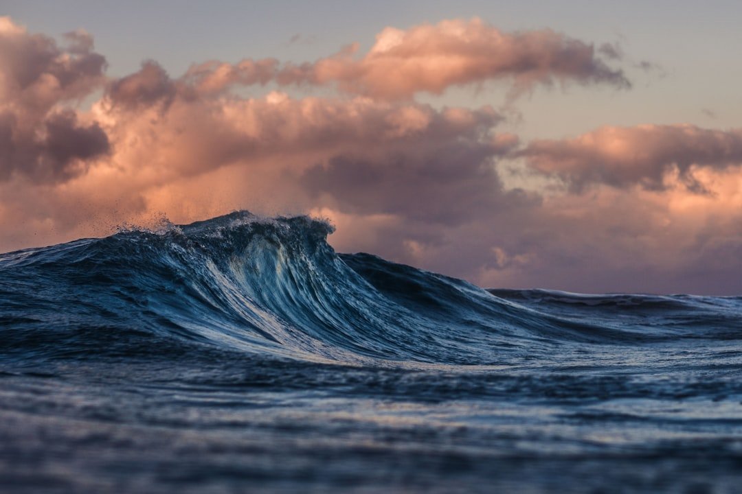
The world’s oceans just cooked through their hottest June since records began, and scientists warn the worst may still be coming. The European Union’s Copernicus Climate Change Service (C3S) announced Wednesday that global sea surface temperatures hit an all-time high for the month, averaging 20.9°C (69.6°F) — nearly a full degree above the 1991–2020 average. For anyone who eats fish, lives near a coast, or cares about hurricanes, this isn’t just a statistic. It’s a flashing red warning light.
Marine heatwaves are already hammering fisheries from the North Atlantic to the Pacific. Cod stocks off New England? Declining. Salmon runs in Alaska? Shrinking. And the heat doesn’t stop at the surface. It penetrates deeper, disrupting ocean currents and melting ice sheets faster than models predicted. “We are in uncharted territory,” said Dr. Samantha Burgess, deputy director of C3S, in a press briefing. “The combination of a developing El Niño and long-term climate change is pushing ocean temperatures into ranges we haven’t seen in at least 40 years of satellite data.”
Why This Matters for Your Dinner Plate
Oceans absorb about 90% of the excess heat from greenhouse gas emissions. That heat doesn’t just disappear — it reshapes marine ecosystems from the bottom up. Warmer water holds less oxygen, and many fish species — from anchovies to tuna — are migrating toward cooler poles, throwing fishing industries into chaos. In the Gulf of Maine, groundfish catches have dropped by 40% since 2004, according to NOAA Fisheries. “It’s not just about the temperature number,” said Dr. Malin Pinsky, a marine ecologist at Rutgers University. “It’s about what that heat does to food webs. When the base of the pyramid shifts, everything above it wobbles.”
And it’s not just wild fish. Farmed shellfish — oysters, mussels, clams — are dying in record numbers during marine heatwaves. In the Pacific Northwest, oyster hatcheries have struggled with acidified, warm waters that kill larvae before they can settle. The 2023 study in Nature Climate Change found that marine heatwaves have increased in frequency by 50% over the past century, and they’re lasting longer. That means more closures, higher prices, and fewer choices at the seafood counter.
El Niño Meets Climate Change: A One-Two Punch
The June record didn’t come out of nowhere. It’s the result of a slow-building El Niño — a natural climate pattern that warms the tropical Pacific — now layering on top of decades of human-caused warming. The last strong El Niño, in 2015–2016, pushed global temperatures to record highs. This one is shaping up to be even stronger. C3S data shows that sea surface temperatures in the equatorial Pacific are already 0.9°C above average, and the NOAA Climate Prediction Center gives a 90% chance that El Niño will persist through winter 2023–2024.
“Think of El Niño as a booster rocket on top of a warming planet,” said Dr. Zeke Hausfather, a climate scientist at Berkeley Earth. “Without climate change, an El Niño would still raise temperatures, but the baseline is now so high that every spike becomes a potential record.” The North Atlantic, in particular, has been anomalously warm — up to 5°C above normal in some spots off the coast of Ireland. That’s contributing to a severe marine heatwave that scientists at the UK Met Office have labeled “unprecedented.” And it’s not just the Atlantic. The Mediterranean, the Caribbean, and the waters around Antarctica are all running hot.
Satellite data, including from missions like NASA’s Chandra X-ray Observatory — which recently lit up the cosmos in red, white, and blue for the US 250th — helps track these sea surface temperatures with remarkable precision. But even with that technology, the speed of the warming has caught scientists off guard. “We expected a warm year,” said Burgess. “But June exceeded even the most aggressive forecasts.”
What Comes Next: Record-Breaking Summer Ahead
If June was hot, July and August could be scorching. The El Niño typically peaks in winter, but its effects on ocean heat are already building. C3S projects that global sea surface temperatures will remain well above average through at least October. That has serious implications for hurricane season. Warmer oceans provide more fuel for tropical storms, and the Atlantic hurricane outlook from NOAA already calls for a “near-normal” season — but with the caveat that El Niño’s wind shear usually suppresses storms. However, the extreme warmth in the Atlantic could override that shear, leading to more rapid intensification — like what happened with Hurricane Ian in 2022.
“The ocean is the engine of the climate system,” said Dr. Michael Mann, a climate scientist at the University of Pennsylvania. “When you heat the engine, you get more extreme weather — not just hurricanes, but also atmospheric rivers, heatwaves, and flooding.” Already, the UK Met Office has warned that the North Atlantic marine heatwave could disrupt fish migration patterns for years. And coral reefs, already stressed by bleaching events, face another summer of high temperatures. The Great Barrier Reef, for example, has already lost half its coral cover since 1995. Another major bleaching event could push it past a tipping point.
Scientists like those featured in QuasarPost’s article on NASA’s future explorers are turning their attention to ocean heat as well — developing new satellite sensors and AI models to predict marine heatwaves weeks in advance. But prediction only helps if we act. The C3S data is a stark reminder that the world’s oceans are running a fever, and there’s no quick cure. “Every fraction of a degree matters,” said Pinsky. “And we are already seeing the consequences play out in real time.”
Frequently Asked Questions
Why are ocean temperatures so important for climate?
Oceans store more than 90% of the Earth’s excess heat from global warming. They drive weather patterns, regulate global temperatures, and support marine ecosystems that billions of people depend on for food and livelihoods. When oceans heat up, it affects everything from hurricane intensity to fish migration to sea-level rise.
What is a marine heatwave and how is it different from an air heatwave?
A marine heatwave is a prolonged period of unusually warm sea surface temperatures, typically lasting at least five days and exceeding the 90th percentile of historical data for that region. Unlike air heatwaves, marine heatwaves can persist for weeks or months because water heats and cools much more slowly than air. They can devastate coral reefs, kelp forests, and fisheries.
Will this ocean heat affect El Niño and La Niña patterns?
Yes. The current El Niño is being amplified by the overall warmer ocean baseline. El Niño events naturally release heat from the equatorial Pacific into the atmosphere, but with the oceans already hotter, that release is even more intense. This can lead to stronger El Niño effects — including altered rainfall patterns, droughts, and floods — and may also influence the frequency of future La Niña events.