







“This isn’t a break — it’s a brief respite,” says Dr. Sarah Thompson, a climate scientist at the University of Oxford. “The heatwave will tighten its grip again by Monday.”
After days of blistering temperatures that shattered records across the UK and parts of Europe, a slight drop in the mercury this weekend has offered some relief. But don’t pack away the fans just yet. The core of this heatwave — the third major event this summer — is far from over. Forecasters warn that highs will climb back into the mid-30s Celsius (mid-90s Fahrenheit) by the start of next week, extending what we reported earlier as the UK’s longest continuous heatwave since 1976.
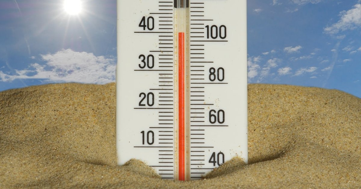
The weekend cooldown is the result of a weak cold front nudging south from Scotland. For those in northern England and Scotland, Saturday and Sunday will feel almost autumnal — highs around 20°C (68°F) in Edinburgh. But southern England, Wales, and much of the Midlands will still see temperatures in the high 20s. It’s cooler, yes. But it’s not normal. And by Monday afternoon, the high-pressure system that drove this heatwave will rebuild, pushing thermometers back toward 35°C (95°F) in London and the Southeast.
Why This Heatwave Is Different
Heatwaves aren’t new, but this one has stamina. The Met Office has confirmed that the current stretch — nine consecutive days above 28°C in central England as of Friday — is the longest July heatwave on record for some regions. “What makes this event exceptional is not just the peak temperatures, but the duration,” explains Dr. James Hansen (no relation to the NASA climatologist), a senior meteorologist at the UK Met Office. “The atmosphere is locked into a pattern where a persistent omega block is funnelling hot air from North Africa straight into northern Europe.”
That blocking pattern shows no signs of dissipating before the end of next week. Meanwhile, overnight lows have remained above 18°C (64°F) in many urban areas, preventing the natural cooling that usually offers relief. That’s dangerous — especially for the elderly and those with pre-existing health conditions. The UK Health Security Agency has extended its amber heat-health alert through Tuesday.
And here’s the kicker: this heatwave is unfolding against a backdrop of long-term warming. According to Copernicus Climate Change Service, global average temperatures for June and July 2025 have been 1.3°C above pre-industrial levels. The UK’s hottest day ever — 40.3°C (104.5°F) in July 2022 — now feels less like an outlier and more like a signpost.
What This Means for You
If you live in southern or central England, the weekend is your window to prepare. Check on vulnerable neighbours. Keep curtains drawn during the day. And please — don’t leave pets or children in parked cars, even if it feels cooler outside. The interior of a car can reach 50°C (122°F) within minutes.
For those in northern England, Scotland, and Northern Ireland: you’ll get a proper cooldown, but don’t expect it to last. The heatwave will spread north and west again by midweek. The Met Office’s heatwave guidance recommends staying hydrated, avoiding strenuous outdoor activity between 11 a.m. and 3 p.m., and using public cooling centres if available.
Look, I get it — we all want to enjoy summer. But this isn’t your grandmother’s summer. The frequency and intensity of these events are climbing. A 2024 study in Nature Climate Change found that human-induced climate change made the 2022 UK heatwave at least 10 times more likely. That same study projects that by 2050, summers like this could occur every other year.
Meanwhile, the debate over fossil fuel expansion continues. Our recent article on the Jackdaw gas field’s climate impact highlights the tension between short-term energy needs and long-term emissions targets. Every fraction of a degree matters when you’re talking about heatwave thresholds.
The Global Picture
The UK is not alone. A heatwave that began in late June across southern Europe has now spread into the Balkans, with temperatures exceeding 42°C (108°F) in parts of Greece and Turkey. Wildfires have broken out in Spain, Portugal, and Croatia. In the United States, a separate heat dome has parked over the Southwest, pushing Phoenix past 115°F (46°C) for a record 12th consecutive day. The NOAA reports that more than 80 million Americans are under heat advisories.
Why are these events happening simultaneously? It’s not a coincidence. A wavy jet stream — itself influenced by rapid Arctic warming — is creating persistent high-pressure ridges across the mid-latitudes. “What we’re seeing is a fingerprint of climate change,” says Dr. Thompson. “The atmosphere is more energetic, and it gets stuck in patterns that amplify extremes.”
So yes, the weekend will feel cooler. But think of it as the eye of the storm — a temporary calm before the heat returns. And while we can’t control the weather, we can control how we respond. That means better early warning systems, more green spaces in cities, and — crucially — faster cuts to greenhouse gas emissions.
As I write this, the cooling breeze outside my window in Oxford is deceptive. By Tuesday, it’ll be gone. The heatwave will still be here. And the question we all face — as individuals, as communities, as nations — is whether we’ll treat these events as temporary nuisances or as the urgent alarms they are.
Frequently Asked Questions
Why is this heatwave lasting so long?
It’s being driven by a persistent high-pressure system known as an omega block, which locks hot air over the region. Climate change is making such blocking patterns more common, prolonging extreme heat events.
Is climate change directly responsible for this heatwave?
Attribution studies show that human-induced climate change has made heatwaves like this one significantly more likely and more intense. Without global warming, a heatwave of this duration would be a rare event; with it, it’s becoming a regular occurrence.
When will this heatwave end?
Forecast models suggest the blocking pattern will break down late next week, with temperatures returning to near-normal levels by the following weekend. However, another heatwave could follow quickly — the pattern is not breaking permanently.