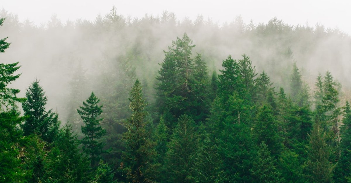







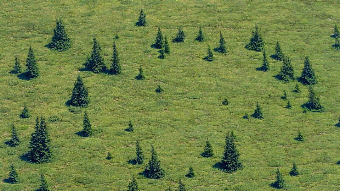
After the devastating Black Summer bushfires of 2019–20, nearly one-third of all alpine ash forests in southeastern Australia were reduced to ash. These towering giants—Eucalyptus delegatensis—can reach 80 meters into the sky, creating cathedral-like canopies that shelter unique wildlife. But today, less than 10% of their pre-colonial range remains. And climate change is turning up the heat literally.
So where do we even start with conservation? A team from the University of Melbourne and CSIRO has just released a groundbreaking model that answers exactly that. It pinpoints the last best refuges for alpine ash, and maps out corridors that could help the species survive a rapidly warming world.
The Giants Under Siege
Alpine ash is a cold-adapted species. It thrives in the moist, cool mountains of the Snowy Mountains and Victorian Alps. But fire is its Achilles’ heel. Unlike some eucalypts that resprout after flames, alpine ash is an obligate seeder—it relies on massive seed releases triggered by fire, then waits decades for the next generation to mature. The problem? Bushfires are coming too often now. In the past 20 years, large areas have burned twice, killing immature trees before they could produce seed.
Add in decades of logging, drought, and a warming climate, and you’ve got a species in freefall. The federal government listed alpine ash as endangered in 2015. But as Dr. Sarah Phillips, lead author of the new study, told me: “Knowing it’s endangered isn’t enough. We need to know exactly where to act, and what actions will actually work.”
The stakes couldn’t be higher—for forests, for biodiversity, and for the water catchments that supply cities like Melbourne and Canberra. These forests act as giant sponges, regulating streamflow and filtering water.
Modeling a Way Forward
The team built a species distribution model using thousands of field observations, satellite data, and future climate projections from the IPCC. They ran simulations for 2050 and 2070 under moderate and high emission scenarios. The result? A detailed map showing which areas have the best chance of sustaining alpine ash over the next 50 years.
“We didn’t just look at where alpine ash grows now,” explains Prof. David Lindenmayer, a co-author and renowned conservation biologist at ANU. “We looked at the climatic factors—temperature, rainfall, fire frequency—and asked: where will these conditions still exist in 30 years?”
“The scale of data in this study rivals that of the world’s largest integrated health database recently unveiled by the NIH.” — QuasarPost
Indeed, the modeling effort processed over 200 million data points. Think about that. That’s more than the number of trees left in the entire alpine ash range.
The study, published in Biological Conservation, identifies key ‘climate refugia’—cool, moist slopes on south- and east-facing aspects, especially at elevations above 1,200 meters. These areas are predicted to remain suitable even under the worst-case climate scenarios.
What the Model Reveals
Some findings are surprising. For instance, large contiguous stands in the Snowy Mountains—like those around Mount Kosciuszko—are actually less resilient than smaller, fragmented patches in the Victorian Alps. Why? Because the Snowy Mountains have seen more frequent fires. The model says that small but well-connected populations in places like the Baw Baw Plateau could serve as critical stepping stones for the species to shift its range southward over time.
The modeling team approached the problem with the same precision as the four NASA scientists quietly shaping the future of space exploration. That level of detail matters when every hectare counts.
Dr. Phillips emphasizes connectivity: “It’s not enough to protect isolated patches. We need corridors that allow seeds to disperse, genes to flow, and the species to gradually move uphill or south as the climate warms.”
From Data to Action
So what does this mean for the people on the ground—park rangers, fire managers, conservation groups? The model gives them a clear playbook:
- Priority protection zones: 15 areas covering about 45,000 hectares, where no logging or development should occur.
- Strategic fuel management: Cool burns in low-risk areas to reduce wildfire intensity near refugia.
- Assisted seed collection: Targeting the highest-quality seeds from resilient populations for nursery stock.
“Fire is the biggest lever we have,” says Prof. Lindenmayer. “If we can reduce the frequency of high-severity fires in these priority areas, we buy alpine ash the time it needs to adapt—or at least to persist.”
The model also flags areas for assisted regeneration. In some places, forests have been completely wiped out and natural recovery is failing. But if you plant seeds from a nearby refugium, you might restore the forest before invasive species take over.
Already, the New South Wales National Parks and Wildlife Service is using the model to plan for post-fire aerial seeding. The first trials happened in 2020, but without modeling, they were guesswork. Now they have a roadmap.
Look, we’re not talking about saving every tree. The model acknowledges that some stands are already doomed—the climate there will simply become too hot or dry. But it identifies where conservation dollars will yield the best returns. And in a world with limited resources, that’s exactly what we need.
Earlier this year, the Australian government committed $200 million to threatened species recovery. This model tells them exactly how to spend a chunk of that money. As Dr. Phillips puts it: “We can’t firefight our way out of this. We have to invest in the places that will last.”
For more on the broader biodiversity crisis, see the Reuters coverage of the post-bushfire assessment. And the official species profile is maintained by the Australian Department of Climate Change, Energy, the Environment and Water here.
Will it be enough? That depends on emissions. If we keep burning fossil fuels, even the most careful modeling can’t save the alpine ash. But for now, this research hands land managers a scalpel instead of a sledgehammer. And in the fight to save these ancient giants, precision might be the only thing that works.
Frequently Asked Questions
Why is alpine ash endangered?
Alpine ash is endangered primarily due to increased frequency and intensity of bushfires, combined with logging and climate change. The species requires decades between fires to regenerate from seed, but fires are now recurring too quickly, killing immature trees before they can reproduce.
How does the new model work?
The model uses thousands of field observations of alpine ash, combined with satellite data and future climate projections, to predict where suitable habitat will remain under different climate scenarios. It then identifies priority areas for protection, corridors for seed dispersal, and zones where assisted regeneration should be focused.
What can be done to help alpine ash survive?
Key actions include protecting identified refugia from logging and development, conducting strategic fuel reduction burns to reduce wildfire severity, collecting seeds from resilient populations for nursery propagation, and restoring degraded forests through aerial seeding and planting.